Property Maps & 3D Models
Create Property Maps and 3D Models!
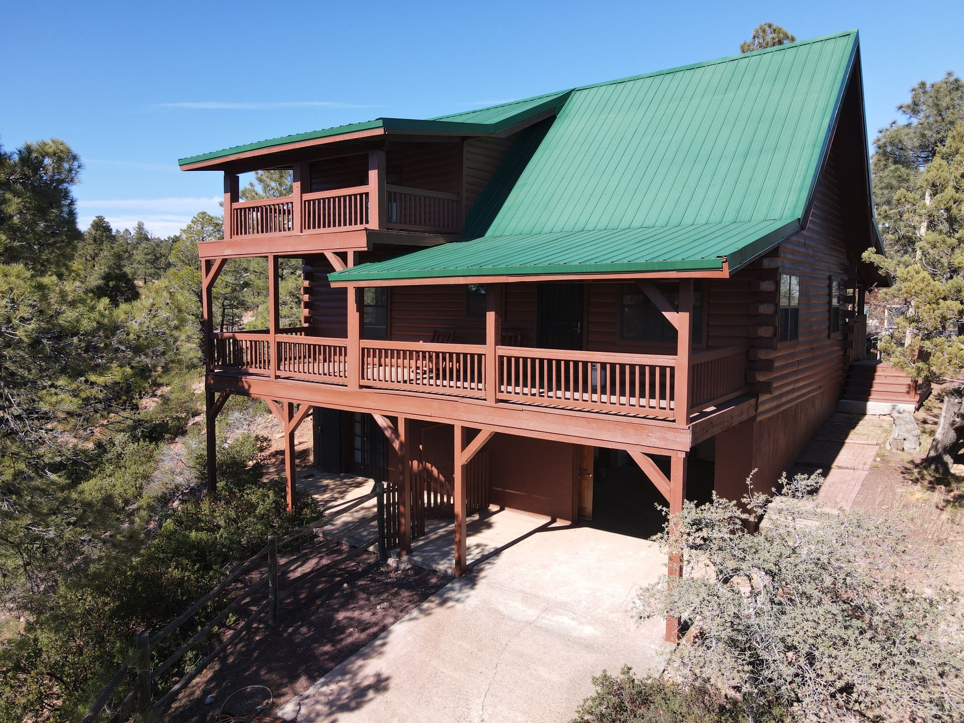
We can create an accurate orthomosaic map of your property no matter how many acres you own. We take hundreds of photos if needed and stitch them into one highly detailed air photo of the current conditions.
For some subjects, a virtual 3D model can show stunning perspectives and stages of progress on a construction project. Models are best suited for smaller subjects with plenty of relief and highly dimensional.
We will spend the time up front with you to discuss your expectations and our capabilities. All missions, if requested, include an on-site review of the photos and videos that were taken.
Give us a call or send us an email and we’ll schedule your free consultation.
Why Choose Us
Safety is First Priority
Our client's safety and well-being take precedence over getting risky video clips and we reserve the right to not record anything deemed overly dangerous.
Customer Service Specialists
Together with you, we create the portfolio of photos and videos to fill all of your needs.
Licensed & Insured
We meet all FAA standards, use only certified equipment and offer additional optional insurance.
Competitive Prices
You’ll promptly receive high quality products and services, at very reasonable prices.